


Технику для каких целей вы ищите?
Акции
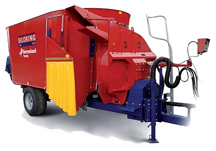
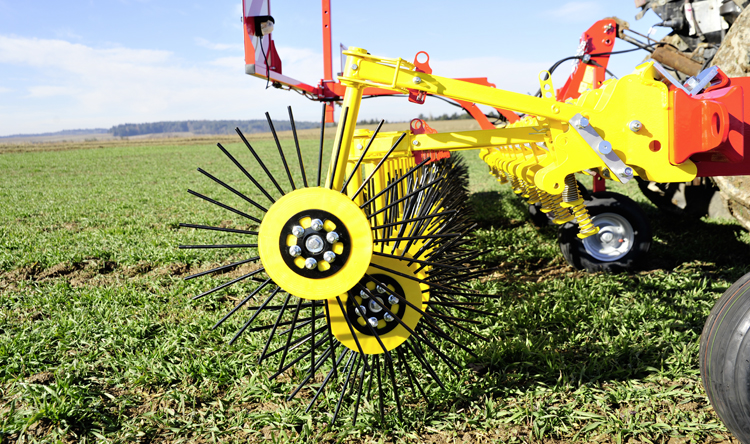
Подбор техники
под индивидуальные требования по системе Trade-In
Шаг 1:
Заявка
Шаг 2:
Оценка Вашей техники
Шаг 3:
Договор
Шаг 4:
Доплата
Шаг 5:
Получение новой техники